- Date added:
- Jun 05, 2024 | Last update check: 1 minute ago
- Integrations:
- —
- Licence:
- Trial | Buy Now
- Runs on:
- Windows 7 64-bit / 8 64-bit / 10 64-bit / 11 Windows Server 2008 R2 64-bit / Server 2012 64-bit / Server 2012 R2 64-bit / Server 2016 64-bit / Server 2019 64-bit
ArcGis Pro is a desktop general-purpose application that supports data visualization, advanced analysis, and authoritative GIS data maintenance in 2D, 3D, and 4D. ArcGIS Pro is part of the Esri Geospatial Cloud. It supports data sharing across a suite of ArcGIS products such as ArcGIS Online and ArcGIS Enterprise, and enables users to work across platforms through Web GIS.
Urban design. ArcGIS Pro is the authoring tool for urban design, with: 3D streaming for global and local scenes; spatial analysis for advanced 3D workflows; lidar classification, feature extraction, and editing; and support for the IFC data model and BIM.
Key features
- Build projects: ArcGIS Pro organizes the resources that you use to do your work into projects. A project contains maps, layouts, layers, tables, tasks, tools, and connections to servers, databases, folders, and styles. Projects can also incorporate content from your organization’s portal or ArcGIS Online.
- Map and visualize your data: You can map your data in 2D and 3D with ArcGIS Pro.
- Perform analysis and geoprocessing: Geoprocessing provides a suite of tools for performing spatial analysis and managing GIS data in an automated way. Use ArcGIS Pro to analyze your data, manage GIS data, and build tools to automate your work or solve complex problems.
- Manage and edit your data: With ArcGIS Pro, you can create and edit many different kinds of features, including cities, buildings, roads, forests, rivers, mountains, and any other spatial phenomena, and integrate data from many sources into your project. You can visualize the layers you are editing in both 2D and 3D so you can see them from all perspectives.
- Use tasks to streamline your work: Through tasks, a GIS administrator can develop a series of steps that users can follow to ensure work is executed based on standards in your organization. A task is a set of preconfigured steps that guide you and others through a workflow or business process.
- Share your work: Sharing your work is an important part of ArcGIS Pro. You can share everything from whole projects to maps, layers, and other components.
Typical workflow
- Integrate data from multiple sourcesCombine data from various sources and formats. ArcGIS Pro supports industry and community standards to ensure inclusion of any dataset you have.
- Visualize your dataDisplay data in 2D and 3D simultaneously. Manage multiple maps and layouts in a single project-based workflow.
- Edit and analyze your dataSimplify data editing and analysis with context-sensitive tools. Perform interactive 2D and 3D analysis. Automate work with ModelBuilder or Python.
- Share your work with the worldPublish maps and analysis results as web services or high-quality prints. Share maps and data on ArcGIS Online, ArcGIS Enterprise or as a package.
ArcGIS trial
ArcGIS trial includes:
- Access to ArcGIS Online for up to 5 named users.
- ArcGIS Pro desktop software. ArcGIS Pro download includes these extensions:
- ArcGIS 3D Analyst
- ArcGIS Data Reviewer
- ArcGIS Geostatistical Analyst
- ArcGIS Network Analyst
- ArcGIS Spatial Analyst
- ArcGIS Workflow Manager
- A suite of ready-to-use apps for the office, field, and community that can be accessed on browsers, desktops, and mobile devices.
- ArcGIS Living Atlas of the World that includes maps and data on thousands of topics.
- 400 ArcGIS Online service credits that can be used for data storage, premium data access, performing geocoding, analysis, and more.
What’s new in version 3
- ArcGIS Pro 3.3: This release brought the ability to perform flood simulations in 3D scenes, which allows for realistic modeling of water flow. It also introduced presentations as a new project item, enabling users to organize maps, scenes, text, images, and videos for display in full-screen mode. Support for standard and georeferenced PDF documents was added to imagery and mapping workflows.
- ArcGIS Pro 3.2: This update came with a new tool for documenting and navigating your geodatabase data model, and made improvements to keyboard shortcuts. It also introduced the ability to create thematic map series. Four new field data types were added, along with oriented imagery for new perspectives, and the editing experience was enhanced.
- ArcGIS Pro 3.1: This version brought about a significant improvement in the handling of catalog datasets and layout elements, which now automatically resize and reposition. It also introduced time-enabled scene layers and scale-based label sizing. A new extension, ArcGIS Reality for ArcGIS Pro, was added, and the rendering of CAD text symbology and point clouds was improved.
- Version 3.0:
- Python: New Package Manager.
- Report: Add maps to reports.
- ArcGIS Knowledge: Neo4j support and improvements.
- Maps and layouts: Create export presets.
- Accessibility: The Color Vision Deficiency Simulator tool.
- Spatial Statistics: MGWR (Multiscale Geographically Weighted Regression) tool.
- Improved performance and productivity.
Gallery
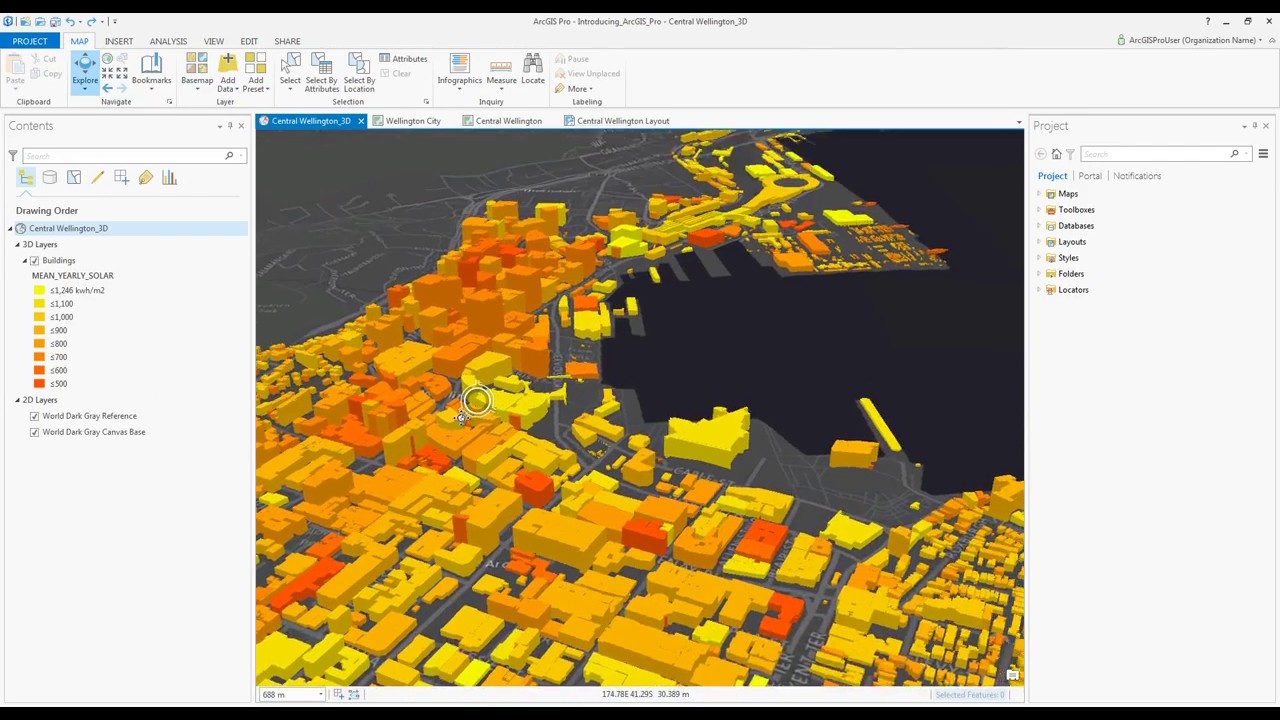
ArcGIS Pro screenshot. ©Esri
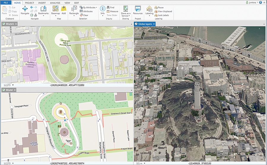
The multipane views in ArcGIS Pro let you compare changes and edit side by side in 2D and 3D. ©Esri
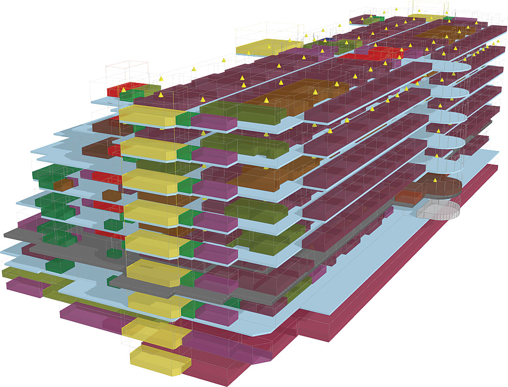
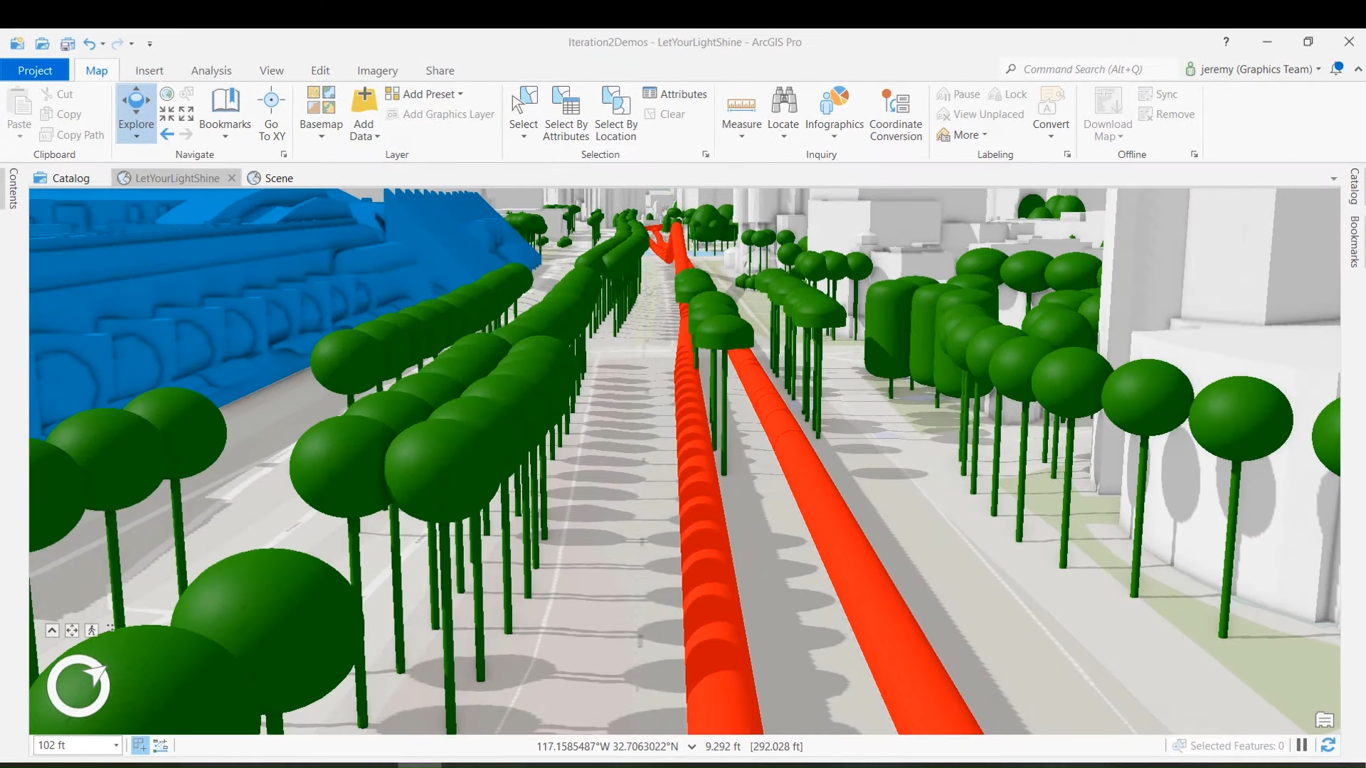
With support for the IFC (Industry Foundation Classes) data model and BIM (Building Information Modeling), ArcGIS Pro is the authoring tool for urban design. ©Esri
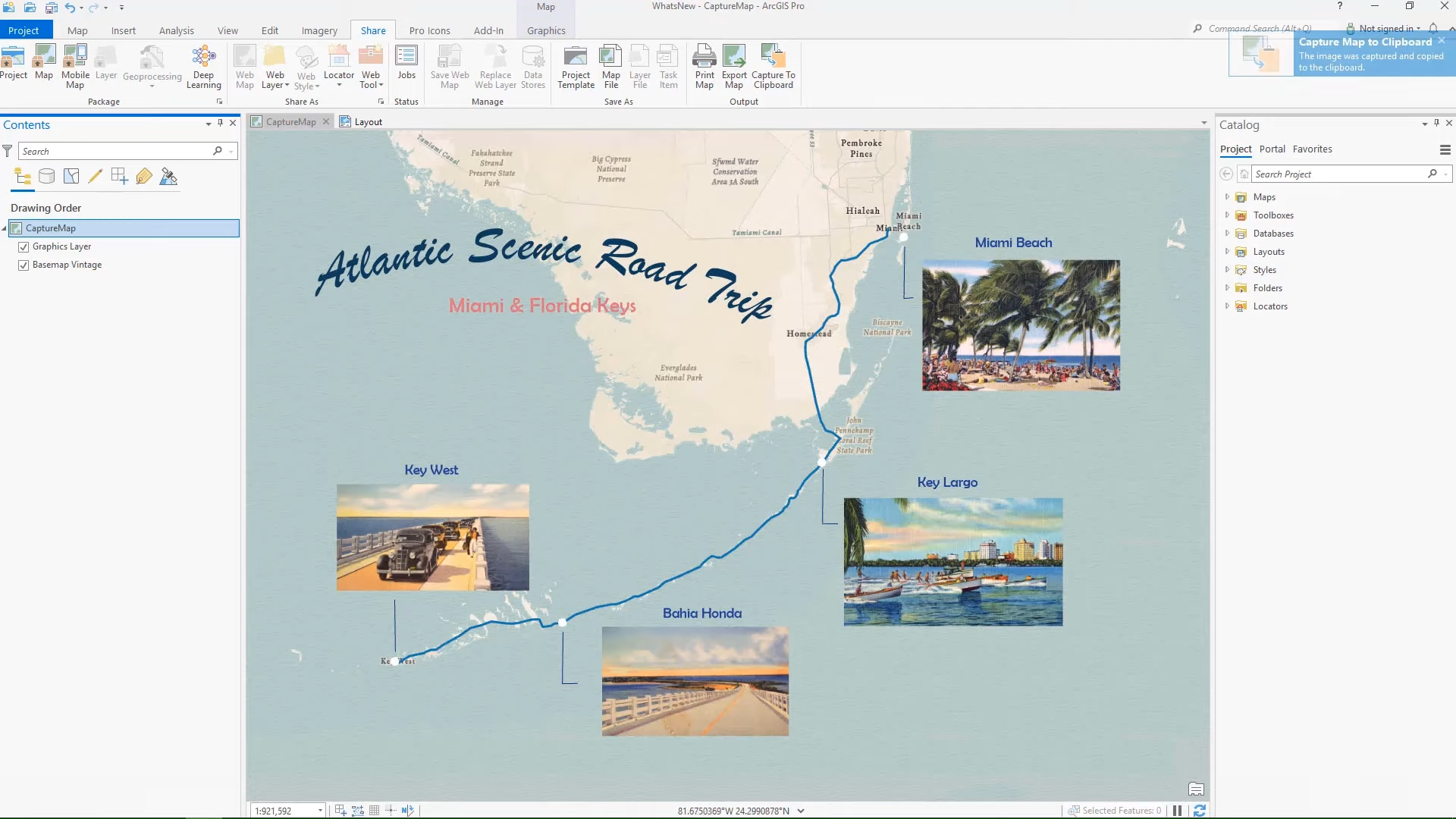
ArcGIS Pro 2.8. Image captured and copied to the clipboard. ©Esri
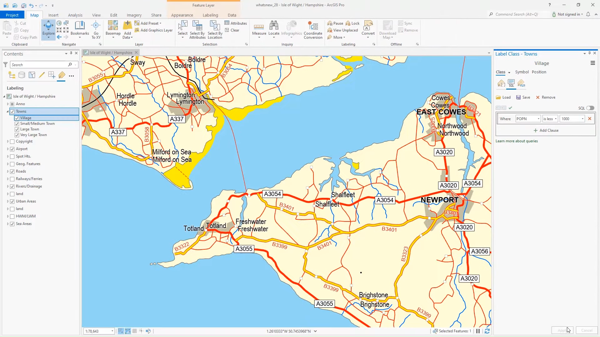
ArcGIS Pro 2.8. Duplicate a label class. ©Esri
ArcGIS Pro 2.8. Improved the speed of loading the ground surface as well as multipatch and 3D object features. ©Esri
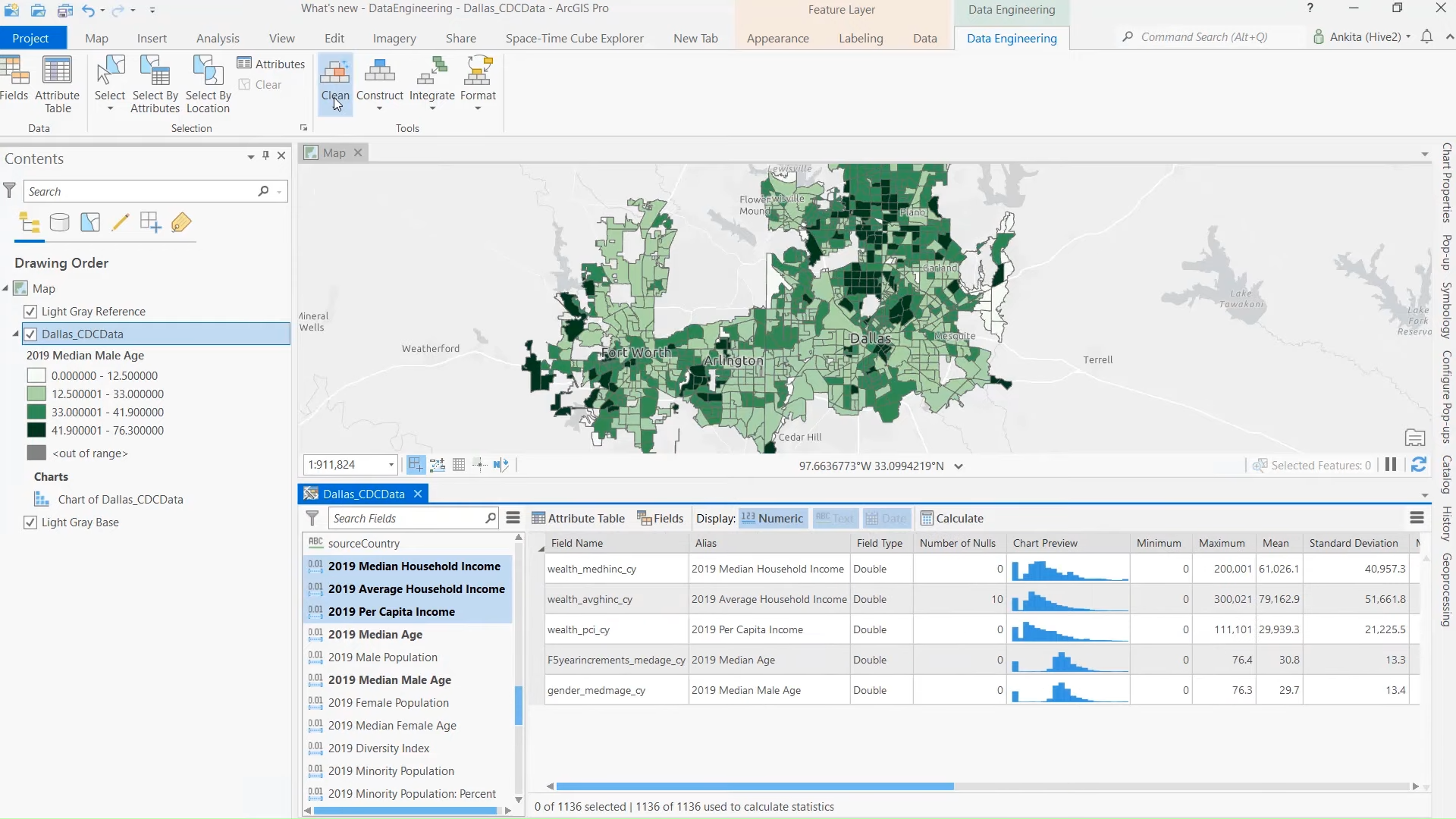
ArcGIS Pro 2.8. The new data engineering view enables you to quickly explore and visualize your data using maps and charts. ©Esri
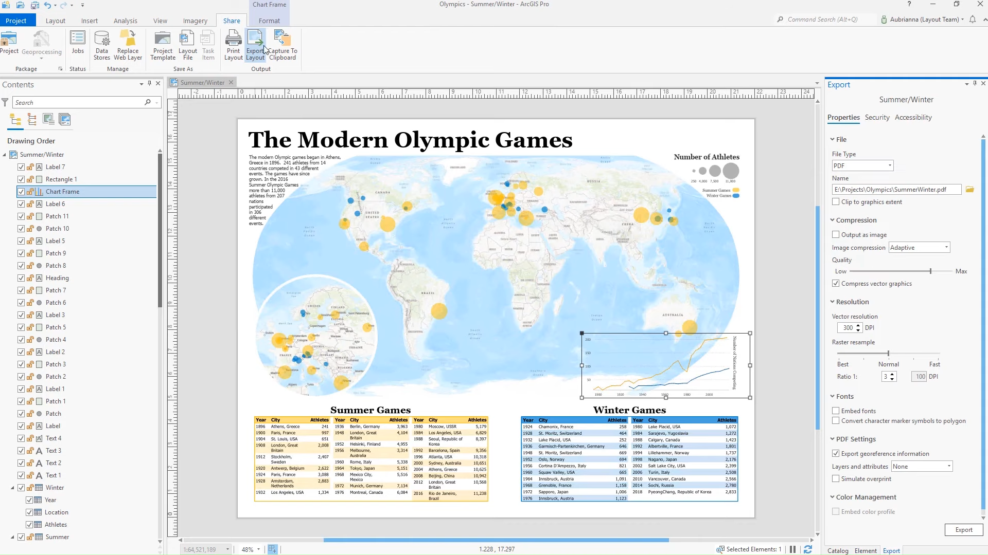
ArcGIS Pro 2.8. Export page layouts as accessible PDF files. ©Esri
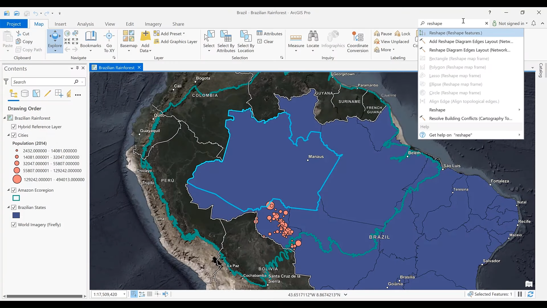
ArcGIS Pro 2.8. Command search helps you find tools and commands by name and keyword. ©Esri
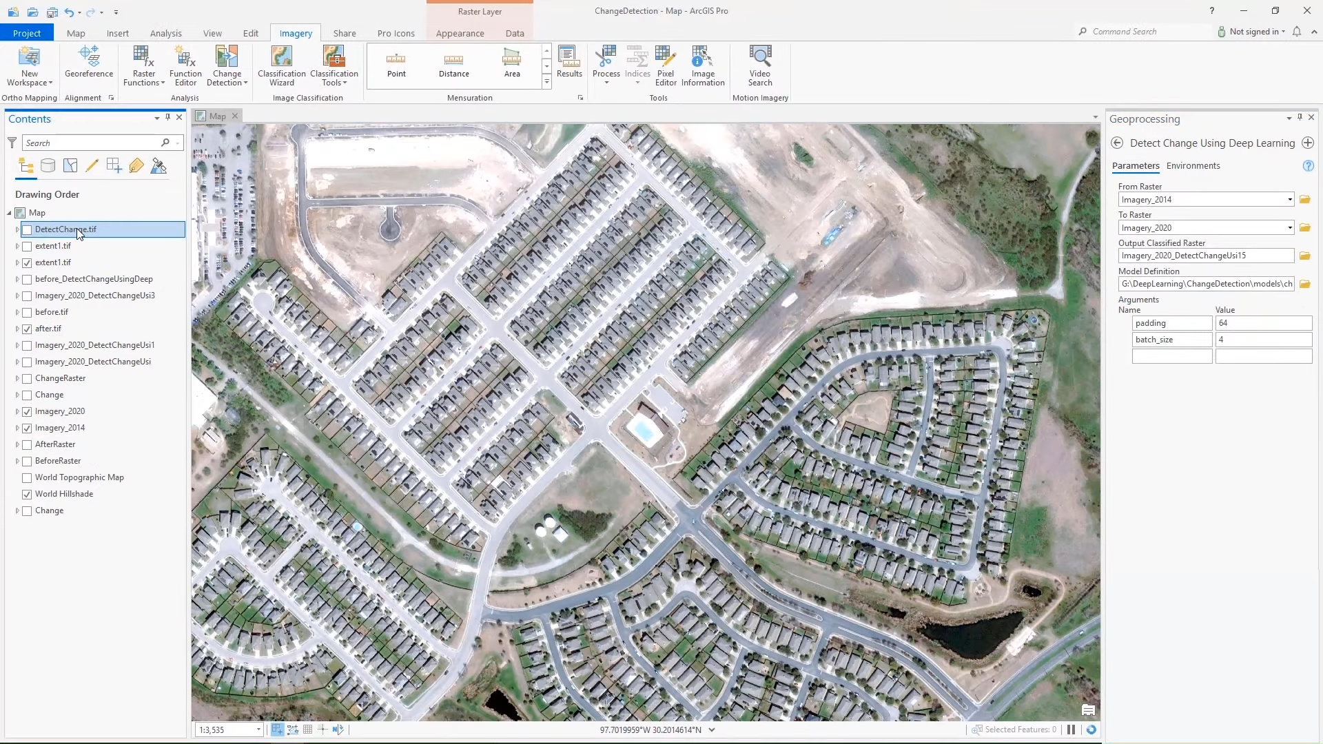
ArcGIS Pro 2.8. Added the ability to perform change detection using deep learning. ©Esri
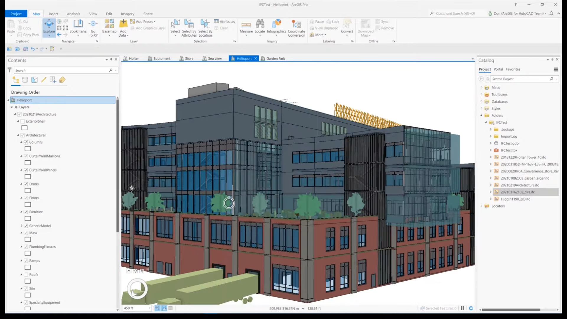
ArcGIS Pro 2.8. Native file support for IFC files is a significant enhancement for BIM and ArcGIS Pro 2.8. ©Esri
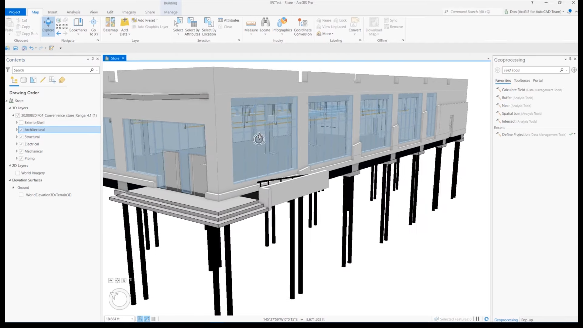
ArcGIS Pro 2.8. Like the existing support for Revit files, IFC files are now read as building layers in ArcGIS Pro. ©Esri