- File size:
- 11 MB
- Date added:
- Mar 29, 2023 | Last update check: 1 minute ago
- Licence:
- Demo
- Runs on:
- Revit 2019 / 2020 / 2021 / 2022 / 2023 / 2024
PlaceMaker for Revit allows you to import aerial images, terrain models and a variety of 3D data (3D buildings, roads, walks, water, trees, etc.) into Revit. It uses an unique credit system to import 3D data. Placemaker is a popular plugin for SketchUp that has been brought over into Revit in November 2020.
Note: You can download the extension for free using Pay-As-You-Go credit system. This license is a fully functional version of PlaceMaker but you will need to purchase Credits to import the data.
Typical workflow:
-
- Install PlaceMaker
- Use the PlaceMaker installer to add PlaceMaker to your Revit version. After installation you should see the PlaceMaker bar in Revit.
-
- Activate your PlaceMaker license
- Use the PlaceMaker license manager button to activate your PlaceMaker license. Free or subscription licenses are available.
-
- Select Place
- Creates a geolocated surface with a low resolution aerial on it. That surface is the base that you now use for all the other data that you want to bring in here.
-
- Import Terrain
- Adds accurate elevation data to the selected surface. You can adjust Grid Spacing. The tighter the grid means the larger the mesh size in terms of polygon count. For some locations you have 1 meter to 30 meters terrain, so the more refined the grid means the better quality of the terrain.
-
- Import high resolution Aerials
- Apply a high resolution aerial to the terrain surface. High resolution aerials and satellite imagery are imported from Mapbox and Nearmap.
-
- Import 3D Buildings
- You can choose between OSM (OpenStreetMap) which is a large dataset of buildings from around the world, and Microsoft building set which is a large set of 3D models for buildings in the US.
-
- Add more context
- Continue to use the other PlaceMaker imports as needed to add more context to your project. Import Roads, Paths, Trees, Water, and Rails.
What’s new in version 1.2.0:
- Added UK imagery source (Bluesky).
- Nearmap Imagery only imports the most recent.
- Increased stability of the terrain import.
About MindSight Studios
MindSight Studios is developer of premium SketchUp extensions since 2006. Its plugins are being used by thousands of SketchUp professionals worldwide to provide solutions for BIM, cost estimating, quantity takeoff, organic modeling, urban context modeling, polygon reduction, and overall increased 3D modeling productivity. Its products include Profile Builder 2, Artisan, PlaceMaker, BoolTools 2, and Double-Cut. In November 2020 MindSight Studios released its first plugin for Autodesk Revit.
Gallery
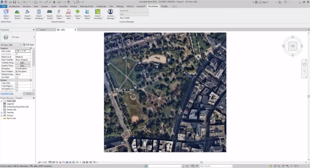
PlaceMaker for Revit ribbon. ©PlaceMaker
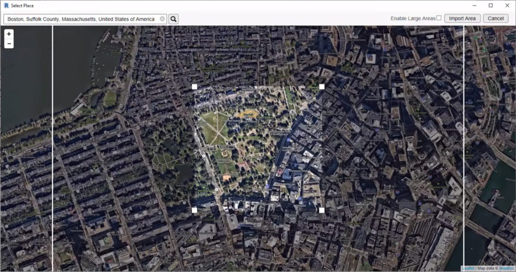
Select place. ©PlaceMaker
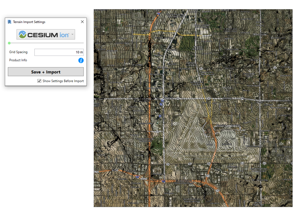
Import terrain. ©PlaceMaker
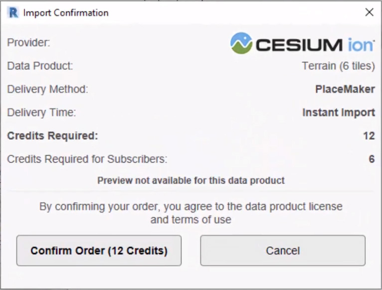
Import terrain. ©PlaceMaker
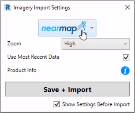
Import aerials. ©PlaceMaker
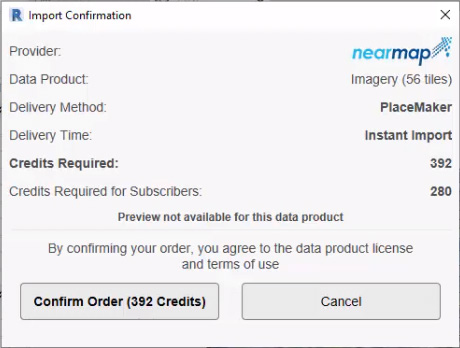
Import aerials. ©PlaceMaker
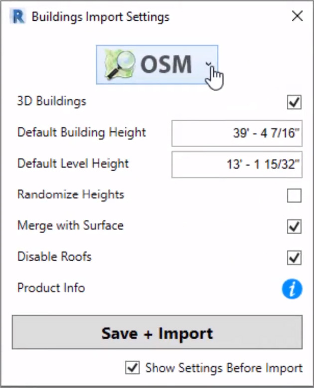
Import buildings. ©PlaceMaker
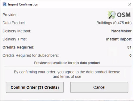
Import buildings. ©PlaceMaker
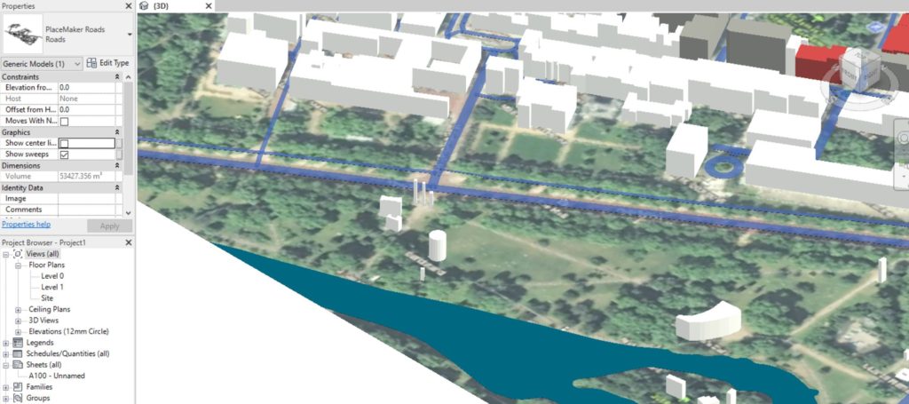
Import roads. ©PlaceMaker
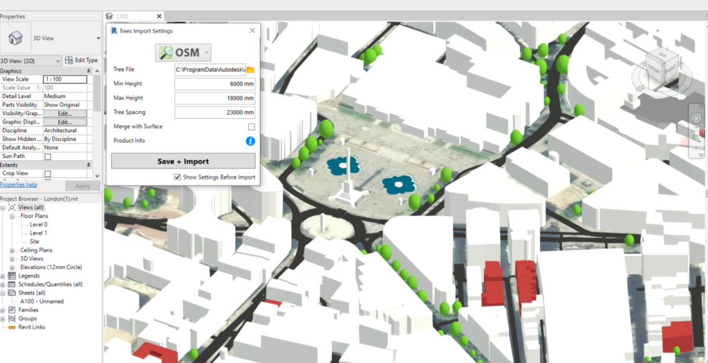
Import trees. ©PlaceMaker
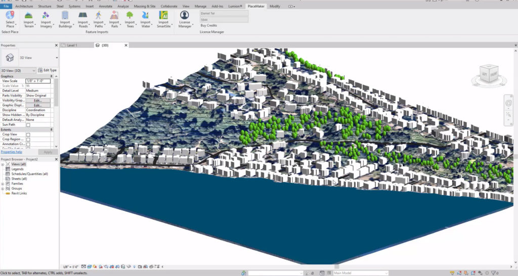
©PlaceMaker