- File size:
- 2.1 GB
- Date added:
- Jan 20, 2020 | Last update check: 1 minute ago
- Licence:
- Trial | Buy Now
- Runs on:
- Windows 7 64 bit / 8 64 bit / 10 64 bit
Autodesk InfraWorks is a tool for conceptual design of roads, bridges, drainage and sites, and for creating visualizations of a proposed project.
For more information please visit https://download.archsupply.com/get/download-autodesk-infraworks/.
What’s new in version 2020.2:
-
- Autodesk Connector for ArcGIS
- Added attribute selection while publishing to ArcGIS Portals and while exporting to File GeoDatabase (FGDB) format, support for Coded Values in InfraWorks from ArcGIS Portals, and support for connecting to ArcGIS server layers.
-
- Parametric Bearings
- Added the ability to use parametric bridge bearings from Autodesk Inventor in your InfraWorks civil structure projects, for greater control of geometry where bridge girders and piers interface.
-
- Traffic Simulation improvements
- Enhancements for roundabouts, left and right turn widening lanes, and u-turns when using Traffic Simulation.
-
- 3D Model import improvements
- Enhanced geo-referenced 3D model import to display coordinate system and rotation values from imported 3D models, such as Revit models in FBX format. This also enables interactive placement for geo-referenced 3D models.
What’s new in version 2020.1:
-
- Brand New Look and Feel
- The InfraWorks user interface has been upgraded and modernized. The new look and feel includes enhanced visual styles, more effective organization of tools and icons, as well as more consistency across dialogs and panels.
-
- Publish to ArcGIS!
- We’ve added the ability to publish InfraWorks features to ArcGIS.
-
- Alignment and Profile Updates from Civil 3D
- You can now use the Reimport command to update alignments and profiles that you have brought into InfraWorks from Autodesk Civil 3D. This improvement allows bridge designers to fetch road alignment updates from Civil 3D.
-
- Multi-User License Support!
- InfraWorks as part of the AEC collection now supports standard Autodesk Network Licenses, which allows for multi-user licensing. At install time you will now be able to select a network license server location or a single user license from the new license manager.
What’s new in version 2020:
-
- Autodesk Connector for ArcGIS
- With appropriate permissions, users of InfraWorks that load a dataset from ArcGIS will now be able to commit local changes back to the ESRI feature service using the new Save Back command.
-
- Extend Schema Tool
- The Extend Schema tool now allows users to add new feature classes to their models, additional properties onto existing features, and change the feature class of existing features.
-
- Civil Structures
- You can now modify civil structures in InfraWorks models by editing the structures’ properties in a spreadsheet.
Gallery

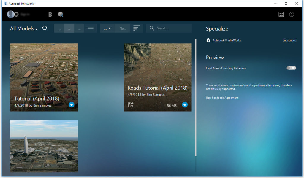
InfraWorks screenshot.
Make changes to GIS data that you imported from ArcGIS and perform a save back, saving those changes back to ArcGIS.
The new release of InfraWorks allows users to add new properties and information to the elements of their project.
InfraWorks now allows user to control the cut and fill display on roads.
Make adjustments to bridge structures using a convenient spreadsheet technique.