- Date added:
- Oct 09, 2023 | Last update check: 1 minute ago
- Integrations:
- —
- Licence:
- Trial | Buy Now
- Runs on:
- Revit 2019 / 2020 / 2021 / 2022 / 2023 / 2024
Topography for Revit is an add-in that enables you to create detailed and geographically correct toposurfaces using a LiDAR data set. Lidar data is available for free in many countries, and is the latest method to survey using drones. This add-in enables you to import Lidar point clouds directly from the surveyor or national database of Lidar scans. It provides more accuracy and precision in the digital terrain which means better projects in terms of both positioning the structures correctly and cost estimations related with the terrain.
There are two preferred methods to create toposurfaces in Revit: using contour lines from a CAD file and using a point cloud produced from a LiDAR laser scan. But whether generating a digital elevation model (DEM) from contours or Lidar point clouds, the AEC industry would not abandon the tradition of using contours. Contours are an excellent method for describing in a plan the features of the landscape and help architects and engineers position structures.
You can import very large point clouds (with millions of points) as LAS (uncompressed) or LAZ (compressed) formats; and export the processed terrain as CSV dataset for external use in other software.
Typical workflow:
- Download and install Topography add-in.
- Click “Topography” button in Archi ribbon tab in Revit.
- Click “Browse” and select a LiDAR point cloud file.
- Select the desired positioning of the point cloud relative to the Revit internal point.
- Choose the amount of points that you wish to include in your Revit toposurface.
- Click “Create Topography” button.
What’s new in version 23:
- New menu and button image.
- Support for Revit 2024.
Gallery

Topography add-in window in Revit. ©Archi Systems AS
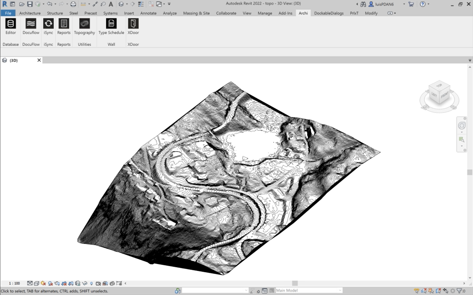
Revit toposurface created with Topography add-in. ©Archi Systems AS

Native Revit Site Settings. ©Archi Systems AS